AGRRT302: Topographical Data Collection
Sorry, this activity is currently hidden
Section outline
-
Introduction
This module describes the skills, knowledge, and attitude required to collect topographic data. It is designed for learners who have completed 9 years of basic education or its equivalent and pursuing TVET certificate IV in Crop Production or other related qualifications. At the end of this module, learners will be able to prepare for topographic data collection operations, surveying, and display of survey results.
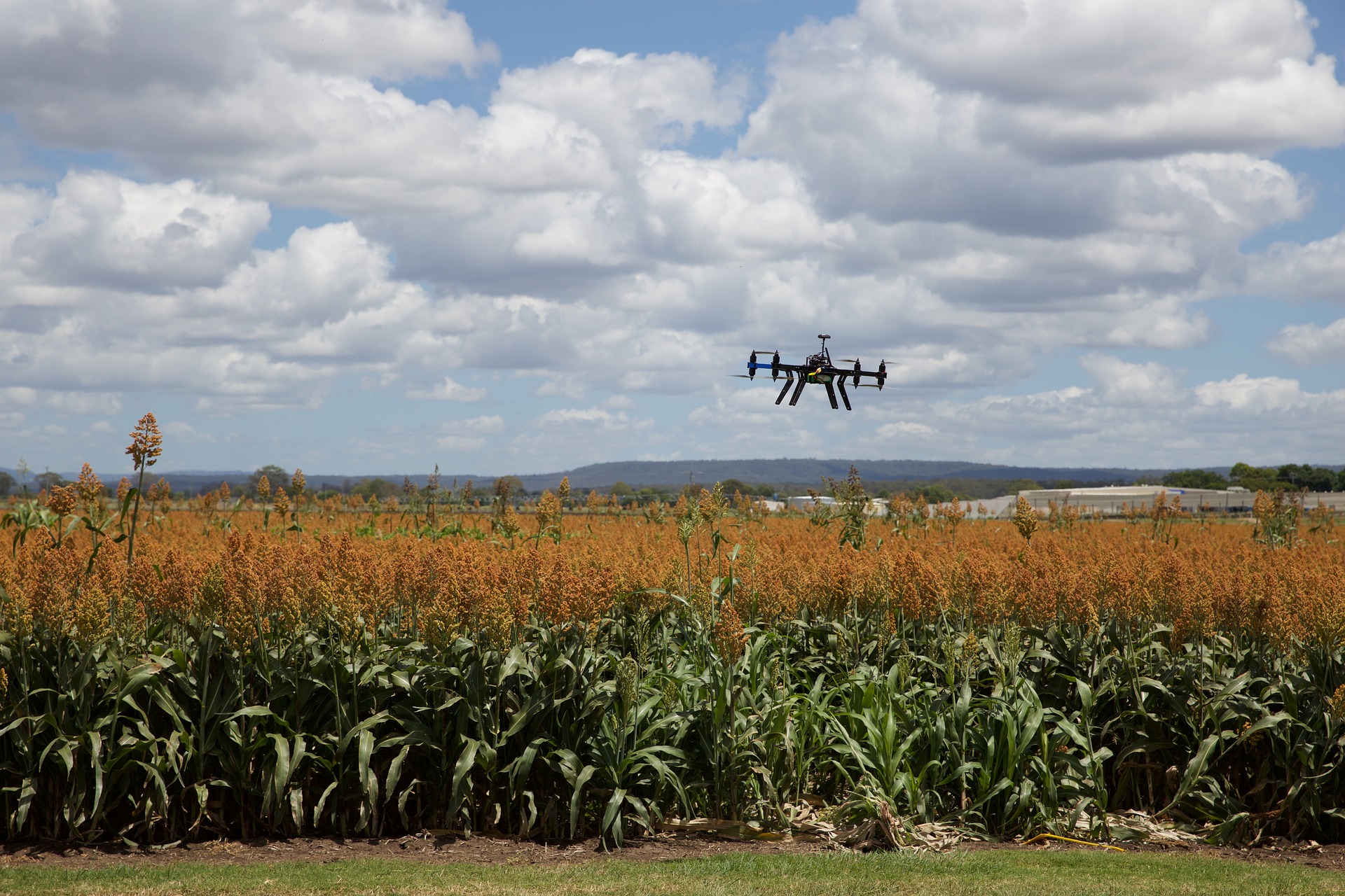
Source: Internet
Learning Objectives
Upon completion of the module, the trainee will be able to :
- Prepare for topographic data collection operations
- Perform surveying
- Display Survey Results
-
-
Students mustMark as done
-
-
-
-
Students mustMark as done
-
Students mustMark as done
-
-
Students mustMark as done
-
Students mustMark as done
-
-
-
-
-
-
Students mustMark as done
-
Students mustMark as done
-
-
-
-